AI and remote sensing fusion opens new frontier in global biodiversity conservation
Despite rapid advances, the study highlights significant geographical and thematic imbalances in current research. Nearly half of the reviewed studies were conducted in China, while other critical wetland regions, particularly in Africa, South America, and Arctic ecosystems, remain underrepresented. This concentration reflects uneven access to data infrastructure and limited institutional resources in developing regions.
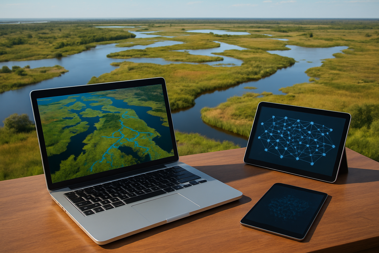
A decade-long surge in artificial intelligence and satellite-based observation has redefined how scientists monitor wetlands and bird habitats. A comprehensive study highlights how machine learning (ML) and deep learning (DL) are advancing the precision, efficiency, and global reach of ecosystem monitoring.
Published in Remote Sensing, the study "Machine and Deep Learning for Wetland Mapping and Bird-Habitat Monitoring: A Systematic Review of Remote-Sensing Applications (2015–April 2025)" systematically reviews 121 peer-reviewed studies spanning ten years to assess how artificial intelligence and remote sensing technologies are reshaping environmental mapping and biodiversity conservation.
AI and satellites redefining wetland observation
The review, following PRISMA 2020 standards, states that the fusion of remote sensing data and AI algorithms has become the cornerstone of modern environmental monitoring. Wetlands, dynamic ecosystems critical for carbon storage, water filtration, and migratory birds, are notoriously difficult to map due to their temporal and spatial variability.
The authors analyzed how Sentinel-1 and Sentinel-2 satellites, Landsat imagery, and unmanned aerial vehicles (UAVs) are being used with ML and DL models to capture multi-temporal, multi-sensor data for wetland mapping and habitat characterization.
Random Forest (RF) emerged as the dominant algorithm, widely used for its accuracy, computational efficiency, and robustness against noisy data. However, the review found that deep learning models, particularly U-Net, CNN, and DenseNet architectures, are now outperforming traditional ML in complex wetland environments where features like vegetation cover, moisture content, and seasonal flooding vary rapidly.
The integration of optical and radar data, especially Sentinel-1's Synthetic Aperture Radar (SAR) and Sentinel-2's multispectral imagery, provides a major accuracy boost, with combined data improving classification performance by up to 10% compared to single-source models.
Mapping the gaps: Regional bias and habitat blind spots
Despite rapid advances, the study highlights significant geographical and thematic imbalances in current research. Nearly half of the reviewed studies were conducted in China, while other critical wetland regions, particularly in Africa, South America, and Arctic ecosystems, remain underrepresented. This concentration reflects uneven access to data infrastructure and limited institutional resources in developing regions.
Moreover, while ML and DL methods have been widely applied to wetland delineation, vegetation cover, and land-use mapping, only a small fraction explicitly focus on bird-habitat monitoring. The authors stress that although wetland extent and health are closely tied to avian diversity, most existing studies still overlook the species-level and behavioral dimensions of habitat ecology.
The review also points out a methodological gap: most works rely on internal model validation rather than independent test datasets, which limits the generalizability of their findings. Likewise, accuracy metrics such as overall accuracy (OA) often mask per-class weaknesses, particularly for minority wetland types. The authors recommend the use of class-based F1-scores and external cross-validation to enhance reproducibility and comparative assessment across regions.
Toward smarter, scalable, and ethical ecosystem monitoring
The decade-long analysis reveals that AI-powered wetland monitoring is at a critical inflection point, transitioning from pilot-scale demonstrations to globally scalable frameworks. The researchers note that Random Forest and Extreme Gradient Boosting (XGBoost) remain the most reliable ML models for standard wetland classification tasks, achieving accuracies above 90%. Yet, deep learning models are quickly gaining ground, especially when paired with cloud-based platforms like Google Earth Engine (GEE) and high-resolution UAV imagery.
According to the study, fusion models combining radar and optical data are essential for managing the spectral complexity of wetlands. Radar captures subsurface moisture and structure, while optical sensors provide vital spectral information about vegetation and surface reflectance. Together, they allow for continuous, all-weather monitoring of wetland change dynamics.
Looking forward, the researchers identify several priorities:
- Data fusion expansion: Incorporate more multi-source datasets, including LiDAR and hyperspectral imagery, to capture wetland microtopography and vegetation diversity.
- Automated and semi-supervised learning: Reduce dependence on manual labeling, which is costly and time-consuming.
- Deep learning for bird-habitat modeling: Extend AI applications from mapping wetlands to predicting avian population distributions and habitat suitability.
- Ethical remote sensing: Ensure UAV operations and large-scale data collection respect wildlife and habitat integrity.
By combining advances in computing, data accessibility, and algorithmic modeling, the study envisions a near future where real-time, AI-driven environmental monitoring systems could track wetland health, species migration, and ecosystem resilience at global scales.
- FIRST PUBLISHED IN:
- Devdiscourse