Artificial intelligence identifies climate hotspots driving drought
The study’s AI-generated maps showed that the Locride area, located within the Aspromonte Geopark, faced the highest drought exposure due to its geomorphology and dependence on surface water systems. The Random Forest classifier successfully identified spatial patterns of risk at a municipal scale, offering policymakers a data-driven tool for local water management and environmental planning.
- Country:
- Italy
A team of Italian researchers has developed an artificial intelligence (AI) framework that integrates satellite data, statistical analysis, and machine learning to map drought risk in Calabria.
Their work, titled "Augmented Statistics for Hydroclimatic Extremes: Spearman, Mann–Kendall, and AI Classification for Drought Risk Mapping," was published in Sustainability. The study examines how climate variables such as air temperature, precipitation, and evapotranspiration interact to drive local water scarcity, using advanced modeling to identify drought-prone areas with high precision.
AI-driven assessment of local water stress
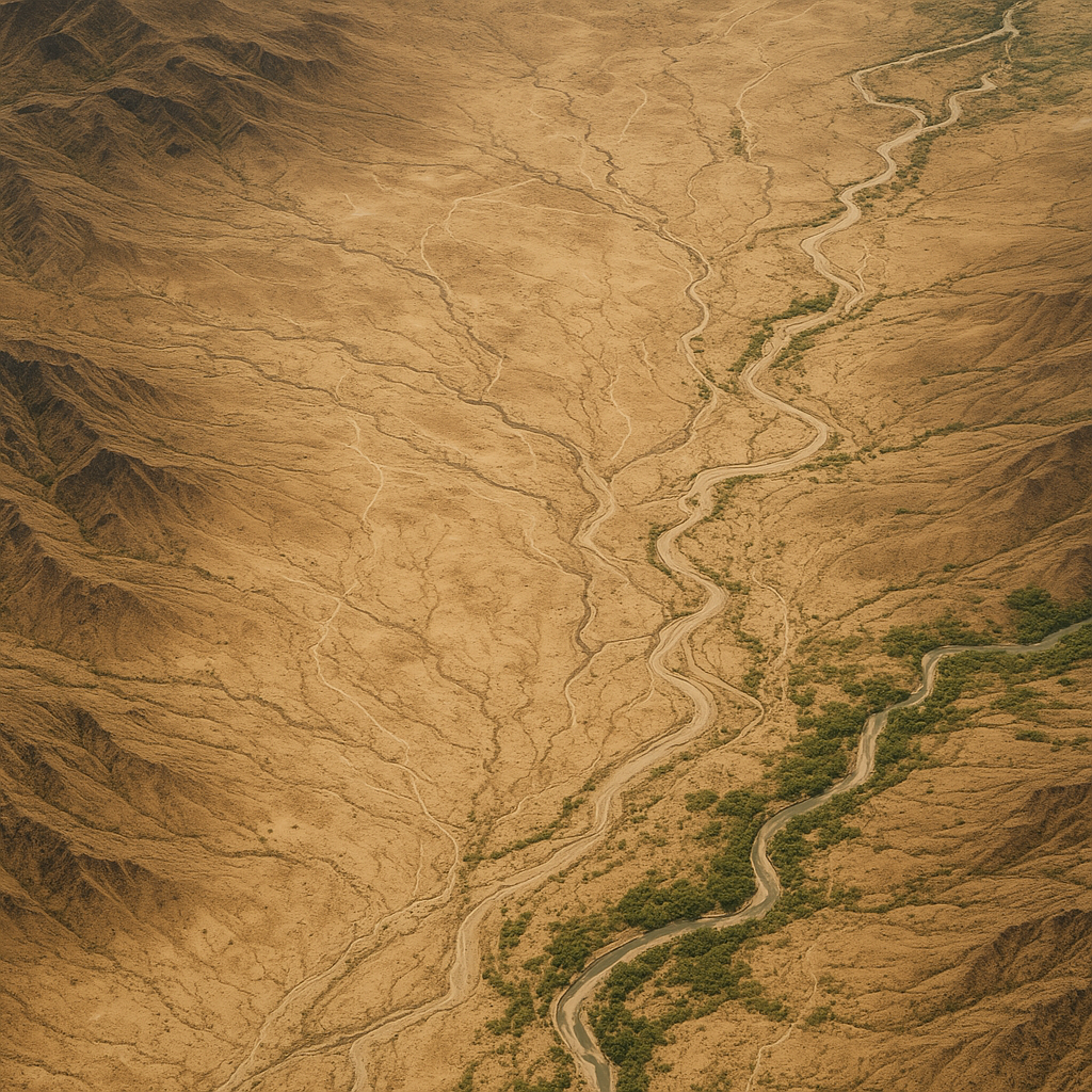
The research focuses on Reggio Calabria, one of Italy's most drought-affected regions, home to the Aspromonte National Park and the vital Menta Dam reservoir. Rising temperatures and reduced precipitation have strained water availability across Calabria. Using Google Earth Engine (GEE), the authors analyzed multi-satellite datasets, including Sentinel-1 and Sentinel-2 imagery, MODIS evapotranspiration data, and NASA GPM precipitation records, to measure surface and near-surface water dynamics between 2019 and 2023.
To understand how climate change shapes these dynamics, the researchers applied Mann–Kendall and Spearman tests to detect long-term trends and correlations in temperature, precipitation, and evapotranspiration. Their findings confirmed a statistically significant rise in air temperature (Z = +2.5, p < 0.01) and a notable decline in precipitation (Z = −1.0, p = 0.20). The Normalized Difference Water Index (NDWI) analysis revealed an alarming 34% reduction in surface water resources during the study period, with almost 78% of the province experiencing a decrease in water availability.
Correlational testing further showed a strong negative link between temperature and water volume (ρ = −0.68) and between evapotranspiration and water volume (ρ = −0.66), while precipitation correlated positively (ρ = +0.30). These results confirm that increasing heat and evapotranspiration are key drivers of declining water levels, consistent with the patterns of hydroclimatic stress seen across the Mediterranean basin.
Machine learning predicts drought hotspots
To operationalize their findings, the team developed four artificial intelligence classifiers, Random Forest, XGBoost, Gradient Boosting Decision Tree, and Logistic Regression, to predict areas most at risk of drought. Each model was trained and validated using 80% of the dataset for training and 20% for testing, with 5-fold cross-validation to ensure reliability.
Among the models tested, Random Forest emerged as the top performer, achieving 93% accuracy and 90% precision, outperforming XGBoost (91% accuracy), Gradient Boosting (89%), and Logistic Regression (85%). These metrics demonstrate the reliability of ensemble learning methods in capturing nonlinear relationships between climatic variables and drought conditions.
The study's AI-generated maps showed that the Locride area, located within the Aspromonte Geopark, faced the highest drought exposure due to its geomorphology and dependence on surface water systems. The Random Forest classifier successfully identified spatial patterns of risk at a municipal scale, offering policymakers a data-driven tool for local water management and environmental planning.
The authors highlight the value of ensemble learning in drought modeling because it balances interpretability, scalability, and predictive strength. Their approach integrates remote sensing indicators with nonparametric statistical methods to produce high-resolution, localized drought maps, supporting sustainable water governance in southern Italy.
Sustainable planning through climate intelligence
The study also sheds light on the potential of AI-assisted environmental analytics in shaping sustainable land and water policies. The authors recommend using such systems to guide reservoir management, irrigation scheduling, and early warning programs, especially in ecologically sensitive areas like Aspromonte.
They also acknowledge the method's limitations, including the short time frame of available satellite data and the exclusion of anthropogenic variables such as urban expansion and agricultural withdrawals. Nevertheless, the integration of geospatial analysis, nonparametric trend testing, and AI modeling offers a scalable blueprint for global adaptation to drought and desertification.
The team suggests that future research could enhance drought prediction by incorporating socioeconomic indicators, in situ hydrological data, and deep learning models such as convolutional neural networks (CNNs) to handle complex spatial variability. The inclusion of land-use dynamics and climate scenario simulations (RCP/SSP pathways) could further strengthen predictive precision.
- FIRST PUBLISHED IN:
- Devdiscourse